Custom Mapping For The Land Owner, Sportsmen, And Recreational User

<
>
5 - 5
We customize each map and tailor it to the client’s needs. By understanding the importance of communicating and the importance of planning and revising, we ensure that our product fully satisfies the present and future land-use purposes.
Create Your Own Map
Why not use our create your own map page - with easy to follow instructions on how to best create your map and how to send it to use once you have fully chosen your mapping areas.
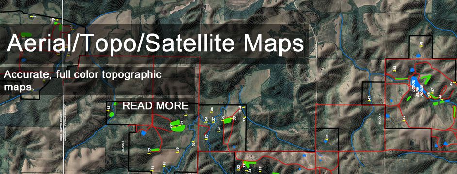
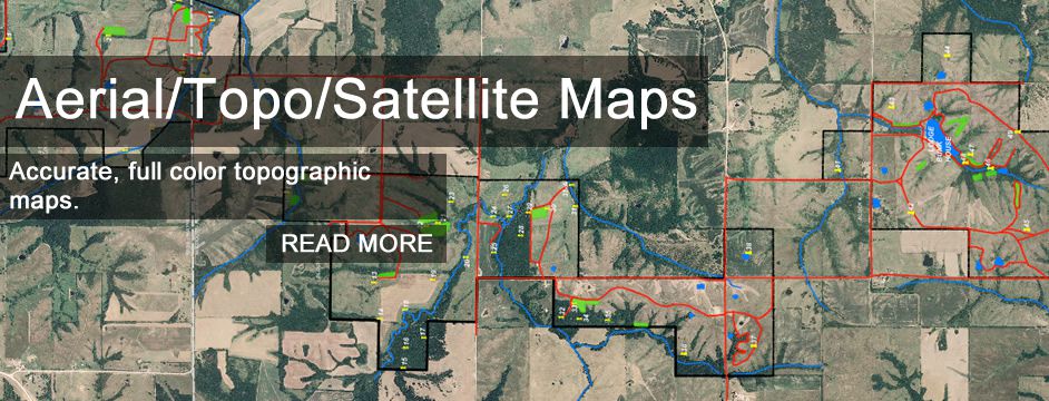
Aerial / Topographical / Satellite Mapping
Land Surveying
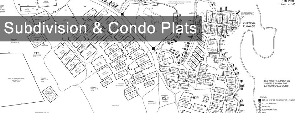
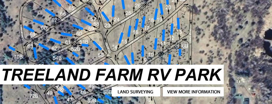
Recreational Maps
Hunting Maps
Trail Design and Building
Lake Maps
Golf Course Maps
Your property is unique. And the way you use it is unique. Whether you're using our maps for hunting, buying real estate, building, blazing trails or for planning future land use, knowing the intricacies and understanding the features of your property is crucial. Point North mapping concepts have been molded from a land surveyor’s perspective. Our staff brings the surveyor's accuracy, intensity, and thorough data collection to each project.
You'll find that we understand the importance of an accurate base map and data integration. We know that one second of Latitude or Longitude can equal 70 feet and 100 feet of error respectively. Our commitment to precision ensures that any Mapping, Land Surveying, and GPS data produced by Point North will render the highest level of accuracy available for that project area. All waypoints and featured data collected by Point North is listed showing a precision of one tenth of a second (.1”).
Working with Point North, you'll receive customized maps tailored to your specific needs. We understand the importance of communicating, of planning and revising. We work with you to ensure that you are completely satisfied with your maps.
Who uses Point North Land services?
• Hunters
• ATV and Snowmobilers, Snowmobile and ATV Clubs
• Real Estate Developers
• Outdoor Lovers: Photographers, Skiers, Birders
• Fishermen looking for detailed lake maps
• Farmers, planning crops, waterways and building sites
• Golf Course Owners/Developers
• Festivals and Outdoor Event Planners
• Racers: Runners, Skiers, Bicyclists
Welcome to Point Mapping - Recreational Mapping & Land Surveying
Click image to watch video
Click image to watch video
Click image to watch video
© Copyright Point North Land Surveying and Mapping Inc. All rights reserved.
CREATE A MAP
CONTACT