3D Golf Course Services
Back to Specialist ServicesOur 3D golf course surveying and mapping services provide accurate, detailed models to support course design, renovation, and ongoing management.
Land Surveying and Mapping Services
Our 3D golf course surveying and mapping services provide accurate, detailed models to support course design, renovation, and ongoing management.
We provide high-resolution surveying and 3D modelling of golf courses, capturing detailed terrain and green data to support both new designs and course renovations.
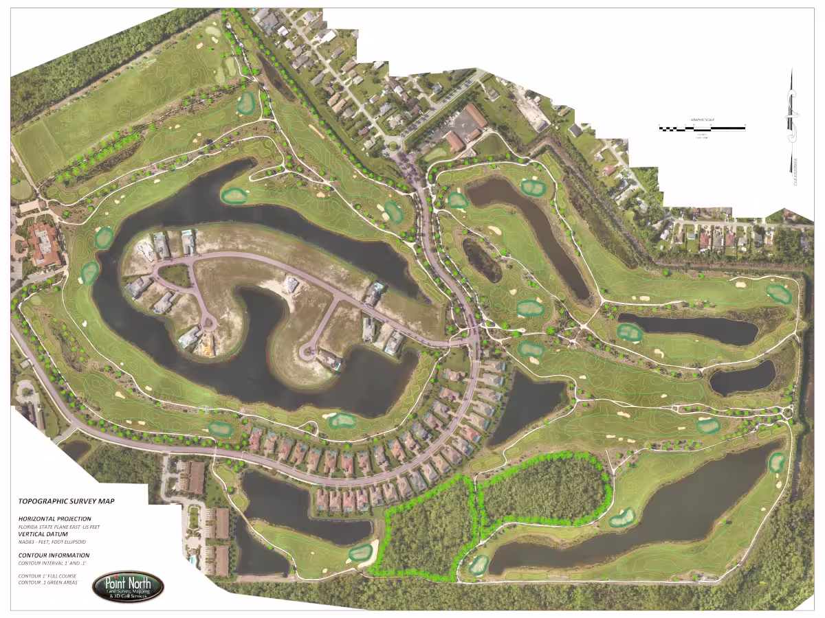
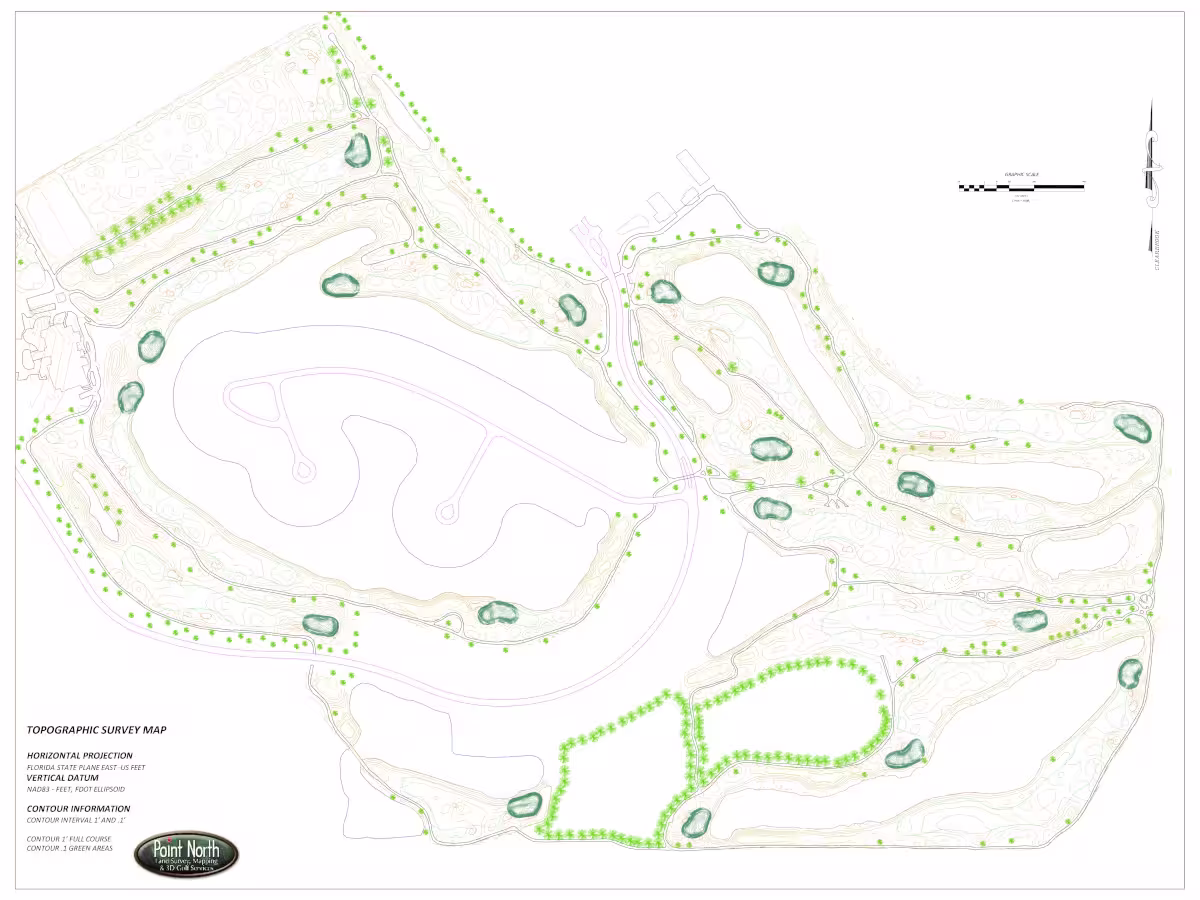
Using a combination of survey-grade GPS, total stations, and advanced scanning techniques, we collect precise data across the course. This information is used to create accurate digital models that allow architects, designers, and course managers to visualise, analyse, and refine their plans with confidence.