What is an ALTA/NSPS Land Title Survey
An ALTA/NSPS Land Title Survey is a highly detailed type of land survey used primarily in commercial real estate transactions in the United States. It combines boundary surveying with title research so that buyers, lenders, and title insurers clearly understand what is being bought and what rights or restrictions affect the land.
The name comes from the two organizations that set the standards: the American Land Title Association (ALTA) and the National Society of Professional Surveyors (NSPS).
Together, they publish the 2026 Minimum Standard Detail Requirements for ALTA-NSPS Land Title Surveys (PDF) , which surveyors must follow.
What an ALTA/NSPS Land Title Survey Shows
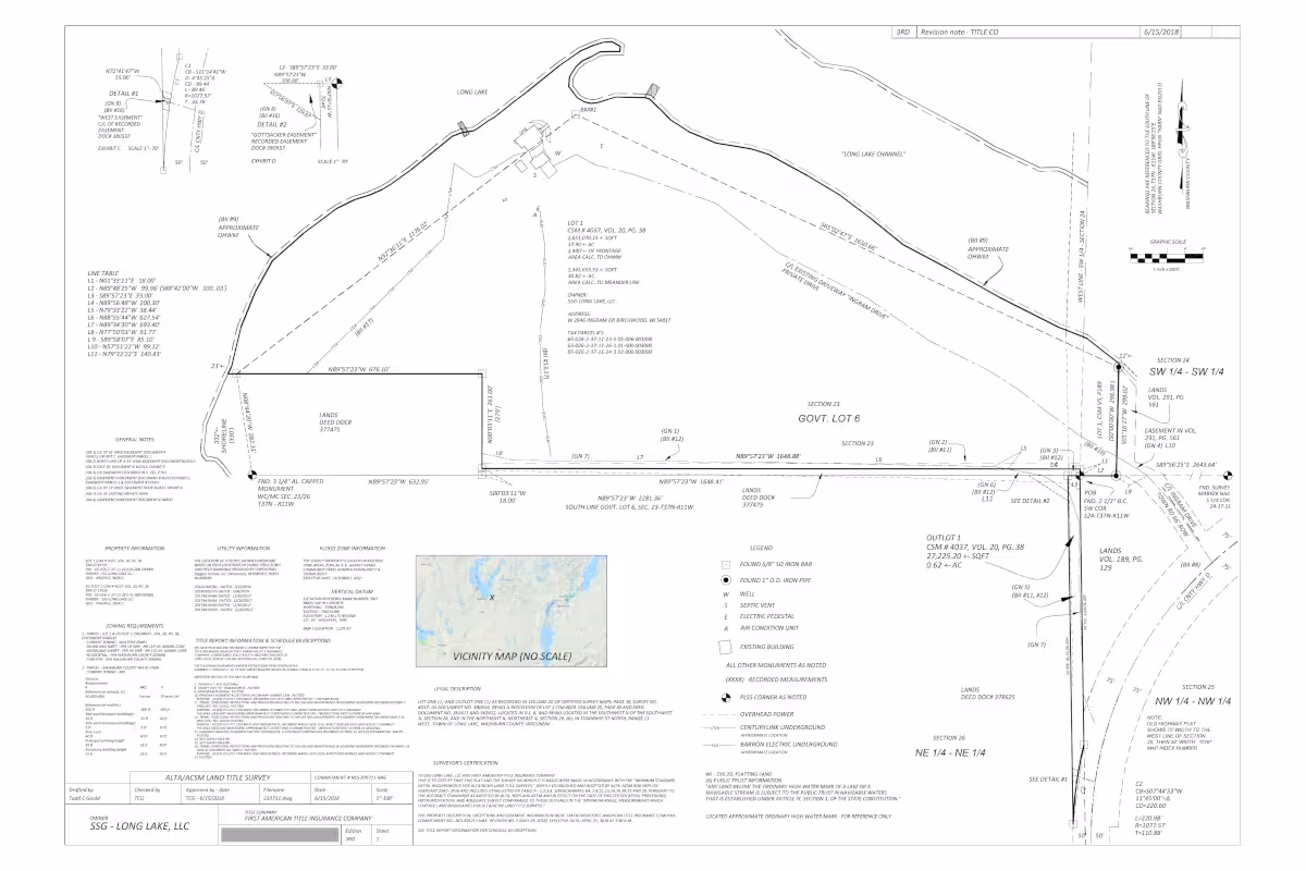
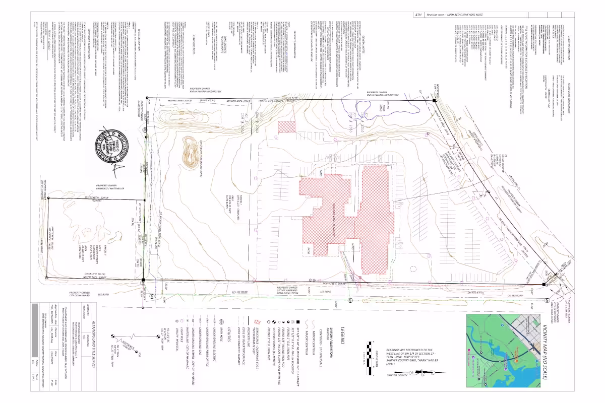
Compared with a basic boundary survey, an ALTA/NSPS survey includes detailed legal and physical information about a property. Typical elements include:
Property Boundaries
- Exact boundary lines
- Corner markers or monuments
- Property dimensions and acreage
Site Improvements
- Buildings and structures
- Fences and retaining walls
- Driveways, parking areas, and paved surfaces
- Utility structures and visible installations
Encroachments
- Features crossing property lines (e.g. fences or buildings)
- Improvements extending into easements
- Discrepancies between record and physical use
Easements & Rights-of-Way
- Utility easements and service corridors
- Access and roadway rights-of-way
- Drainage and maintenance easements
Access & Circulation
- Legal access to public roads
- Frontage and entry points
- Shared or private access arrangements
Title Commitment Review
- Recorded easements and restrictions
- Comparison of title documents with field conditions
- Identification of relevant recorded matters
Why These Surveys Are Important
ALTA/NSPS surveys are often required by lenders and title insurance companies before closing on commercial property.
They help:
- Lenders confirm the land secures the loan
- Title insurers remove certain survey-related exceptions from policies
- Buyers and developers understand physical and legal risks
- Attorneys identify potential boundary disputes or encroachments
Without this survey, hidden issues could cause expensive legal or development problems later.
Optional Survey Items
ALTA standards include a list called "Table A", which provides a menu of optional items that clients can request depending on the requirements of the transaction.
Key optional items include:
- Flood zone classification
- Parking space counts
- Utility locations
- Building heights
- Zoning information
- Addresses
Different real estate deals select different Table A items depending on risk and lender requirements.
Who Performs an ALTA/NSPS Survey
These surveys must be done by a licensed professional land surveyor in the state where the property is located.
The surveyor is required to:
- Review title documents
- Perform field measurements
- Analyze easements and legal descriptions
- Prepare a certified survey drawing
The survey is then signed and sealed by the surveyor.
Typical Uses
ALTA/NSPS surveys are most common in:
- Office buildings
- Shopping centers
- Industrial sites
- Development land
- Hotels and large multifamily projects
They are rarely required for typical residential home purchases, which usually use simpler boundary surveys.
ALTA/NSPS Survey vs Other Surveys
Survey Type
When Done
Purpose
ALTA/NSPS survey
Property purchase/refinancing
Detailed title & boundary survey for real estate transactions